Kayaking Around Victoria, BC: Fleming Beach Route
This route explores the north and west shores of Victoria Harbour and the more exposed shoreline of Esquimalt Municipality on the Straits of Juan De Fuca. Due to this more exposed section, you will need to carefully check the weather forecasts before you go. Plan to stop for a picnic lunch or snack at Flemming Beach.
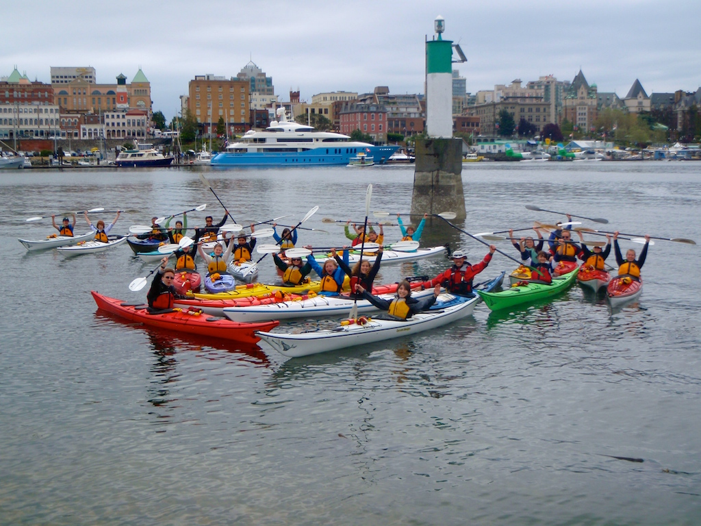
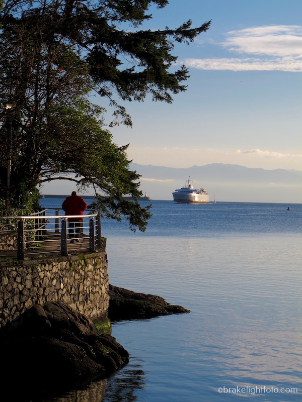
Busy Inner Harbour
A word of caution: Transport Canada advises that aviation and marine traffic in the Port of Victoria has increased over the past few years and your cooperation is needed to ensure effective operations and safety in the port. The following rules, special procedures and restrictions have been developed jointly by port users and regulatory authorities and apply to all vessels (including paddle craft) and seaplanes operating in the Port of Victoria.
For a chart and complete list of the Victoria Harbour rules and regulations, click this link: Harbour Rules and Regulations.
Your trip will begin at the Ocean River Downtown Docks on at the bottom of Swift St, just north of the Johnson St. Bridge. The docks are ideally located in front of Canoe Brewpub and make for a convenient place to start your harbour tour.
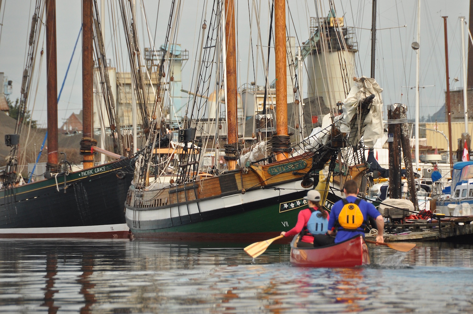
SALT Sailing Ships
Once you leave the docks, cross the harbour anytime it is safe to do so, watching carefully for other boat traffic. Depending on the time of year you may pass by the Pacific Grace and/or Pacific Swift Tall Ships. They belong to the Sail and Life Training Society, SALTS. Pass under the Johnson St. Bridge and stay along the shore in front of the Delta Point Inn. You will round Songhees Point, which, along with Laurel Point on the opposite shore, forms the ‘Narrows’.
The West Song Walkway in West Bay
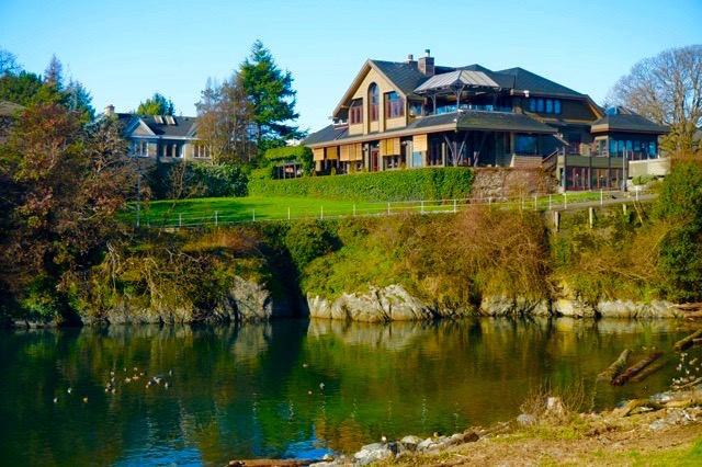
Songhees Point is also the beginning of the Songhees Walkway, a paved, mostly level, wheel chair accessible walkway you will see following the shore all the way to West Bay in Esquimalt (about a 30-40 min walk 1 way). On the rocks of Songhees Point you will see a large totem pole which was presented, as a gift to the people of Canada, by a group of First Nations’ Artists from British Columbia in recognition of the 15th Commonwealth Games in 1994. You will also see a ‘Signs of Lekwungen’ spindle whorl marker, one of seven carved by First Nations carver Butch Dick. The marker is a bronze casting of a spindle — traditionally used by women to spin wool. As you continue past the Songhees condominiums, you will pass by Lime Bay Park and a small bay. If you look up past the steep banks at the end of Lime Bay, you will see Spinnaker’s Gastro Brewpub and Guest Houses. This was Victoria’s first brewpub and is a great place to come back to after your paddle for a pint of beer and a meal.
Spinnakers Brewpub
As you continue along the shoreline, you will see in front of you, the boats and float homes of West Bay Marine Village. Turn left as you approach the Marina and follow the shoreline to the south. You can paddle the passage between the shore and Beren’s and Work island on your left. If you decide to do a shorter circle route and return to the inner harbour, the channel between Beren’s Island and Shoal Point on the opposite shore is the safe and legal point to cross the harbour when it is clear of traffic. If the white lights on the marker on Beren’s and the marker at Shoal Point are flashing, there is an aircraft landing or taking off. Do not attempt to cross.
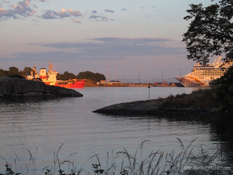
Behind Beren’s Island, looking at the Canadian Coast Guard Base and Ogden Point Cruise Ship Terminal
As you continue following the shoreline, the land on your right is Canadian Forces Base Esquimalt – Work Point. Work Point Barracks, a late 19th century wood structure and a Recognized Federal Heritage Building is found here. As you pass by the residential quarters of CFB Esquimalt, you will come to McCauley Point Park. Continuing around from there you will see a breakwater. Continue along the breakwater to the entrance and you will see in front of you Flemming Beach.
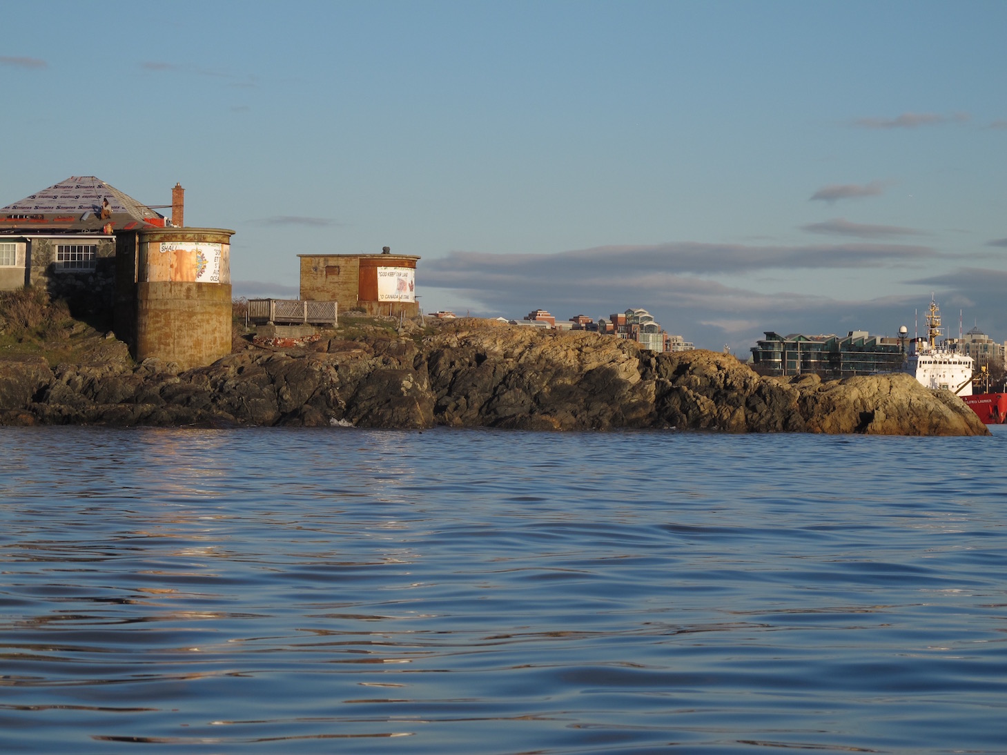
WW II Gun Emplacements at McLouglin Point
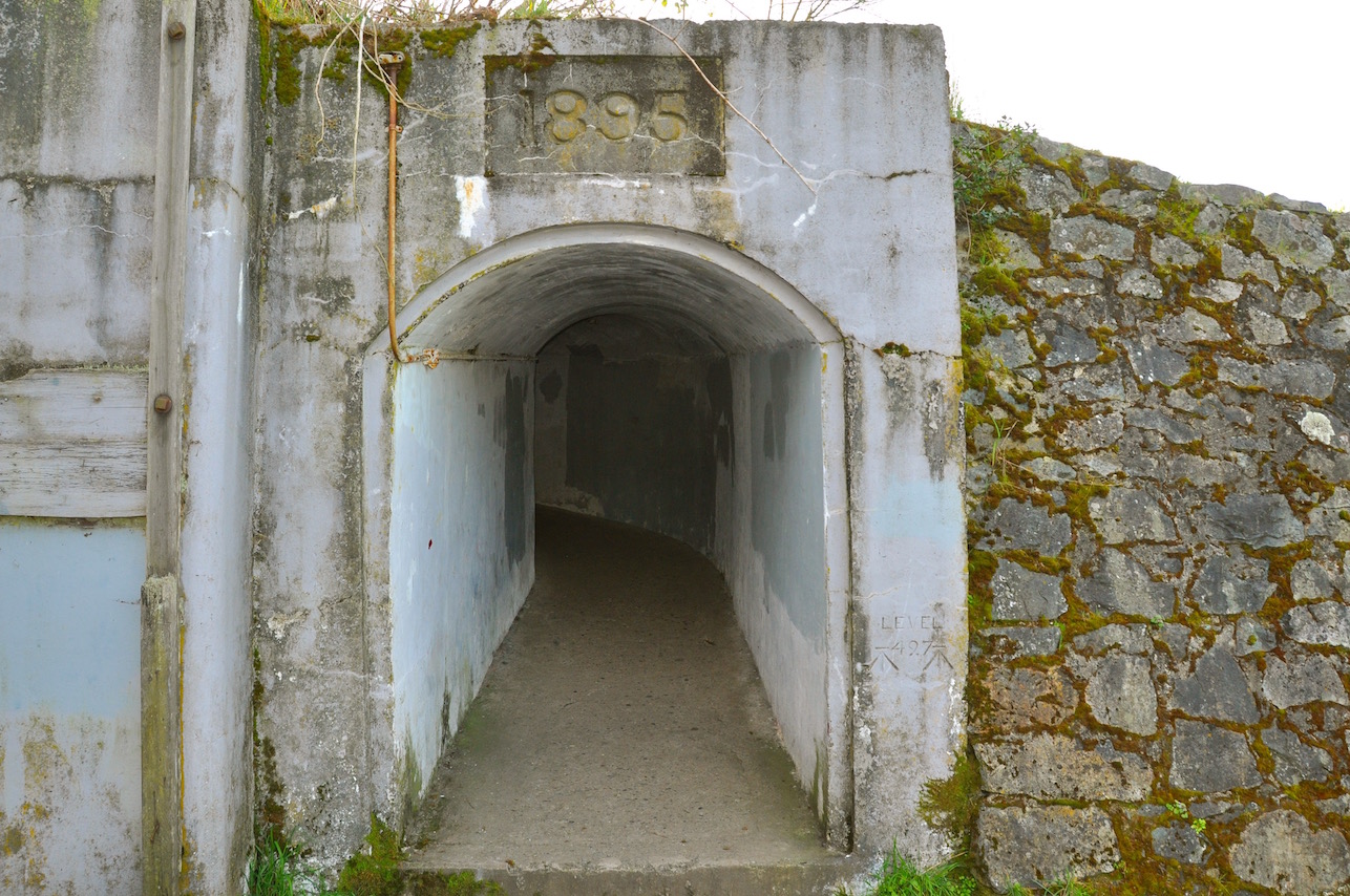
Remains of Fort Macaulay at Macaulay Point Park
Fleming Beach forms one of the entrances to Buxton Green and Macaulay Point Park. The large rock face that is a prominent feature of the park is very popular with local rock climbers. Just under the rock face and in front of the walkway you will see a nice sandy beach you can land on and stop for a picnic lunch and go for a walk along the pathways and check out the old fortifications. These are the remains of Fort Macaulay, a coastal defence fortress built in 1895 by the Royal Engineers. Fleming Beach is also home to the Esquimalt Anglers Association which developed the boat ramp, docks, clubhouse and boat launch there. Buxton Green, the large grassy area, is built over the first salt water swimming pool built in the Capital Region.
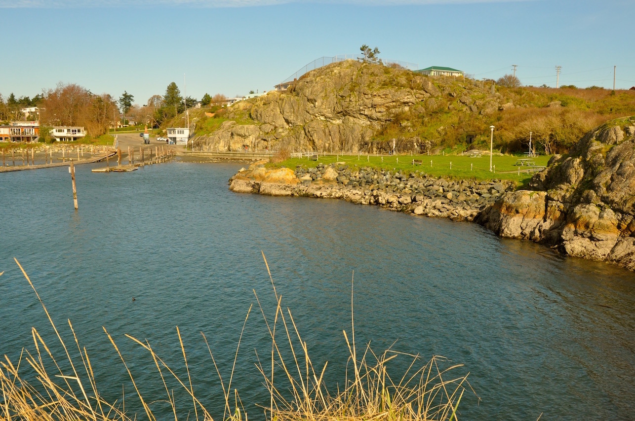
Flemming Beach
This is the end of this leg of the route. You can follow the same route back to the Ocean River Sports docks, or you can cross the harbour at Beren’s Island, as described earlier, and head back in front of Fisherman’s Wharf to the ‘Narrows”.
Planning the Trip
Ocean River Sports to Flemming Beach – Approximately 10 km (6 miles). Allow 2 1/2 – 3 1/2 hours, depending on your paddling speed and the amount of time you take for sightseeing, photos and socializing.
Check the weather forecast
Before you set out, check the weather for Victoria Harbour or Esquimalt Harbour. Make sure of the forecasted winds and leave yourself time to get back. If in doubt, check with the staff at the Adventure Centre.
You can check the winds (speed & direction) forecast for the day at the sites posted below. Our recommendation for most paddlers is to keep the winds under 10-12 knots or 18 – 24 kph. While there are limited currents on this particular trip, remember that wind against the current will create larger, steeper waves, and this can commonly occur off headlands.
Here are 2 recommended sites for good wind forecasts:
Safe Paddling!!
Happy Paddling!
Bruce Holland – You can also catch me at Ourhomehas6wheels.com or Brakelightfoto.com